
Latest Version
7.1.24.44.112F2A33.FF608AF0
December 14, 2024
General Magic
Maps & Navigation
Android
0
Free
com.generalmagic.magicearth
Report a Problem
More About Magic Earth Navigation & Maps
This application prioritizes privacy and does not track, profile, or trade in personal data.
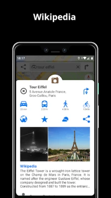
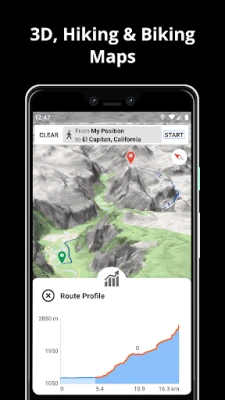
It offers offline maps powered by OpenStreetMap for 233 countries and regions, with options for 2D, 3D, and satellite views. Users can also access detailed information about their route, including surface, difficulty, distance, and elevation profile. Additionally, they can learn about nearby points of interest from Wikipedia articles and find parking spots.
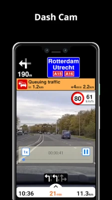
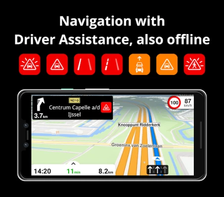
The AI DashCam feature helps improve safe driving by providing alerts for potential problems on the road and recording trips. It includes Driver Assistance warnings for headway, forward collision, pedestrian collision, lane departure, leaving lane, and stop & go assist. These features are available when the device is on a car mount in landscape mode and requires Android 7 or later.
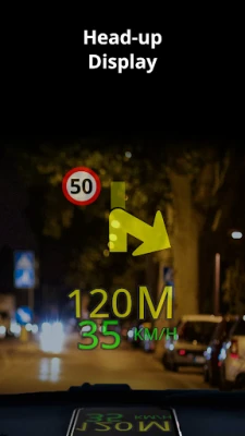
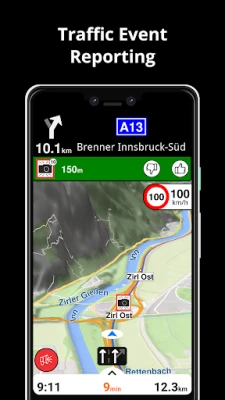
The navigation feature allows users to find the fastest or shortest route for car, bike, walking, or public transport. They can also plan routes with multiple waypoints and use the free Head-up Display (HUD) feature for important navigation information projected onto their car's windshield. Lane assistance and speed camera notifications are also available.
Real-time traffic information is updated every minute, and users can discover alternative routes to avoid traffic jams. The public transport feature offers routes that combine all modes of transportation, including bus, metro, subway, light rail, train, and ferry. It also provides walking directions, transfer times, departure times, and cost (when available). Users can also find wheelchair or bike-friendly public transportation options.
The weather feature allows users to view current temperature and local forecasts for their favorite locations. They can also see weather conditions for the next few hours and the forecast for the next 10 days. Some features may not be available in all countries and may require an internet connection.
Rate the App
User Reviews
Popular Apps


Editor's Choice





 All Games
 Action
 Adventure
 Arcade
 Board
Board Card
Card Casual
 Educational
 Music
Music Puzzle
 Racing
 Role playing
 Simulation
 Sports
 Strategy
 Trivia
 Word
Word Art & Design
 Auto & Vehicles
 Beauty
 Books & Reference
 Business
 Comics
 Communication
 Dating
 Education
 Entertainment
 Events
 Finance
 Food & Drink
 Health & Fitness
 House & Home
 Libraries & Demo
 Lifestyle
 Maps & Navigation
 Medical
 Music & Audio
 News & Magazines
 Parenting
 Personalization
 Photography
 Productivity
 Shopping
 Social
 Sport
Sport Tools
Tools Travel & Local
 Video Players & Editors
 Weather
 Android
 Windows
 iOS
iOS Mac
Mac Linux
Linux